152 West in Santa Clara County, California
This is six miles west of Casa de Fruta. 152 is flat and zig zags a
bit through here.
![[152 West]](152_w_santaclara_14.jpg)
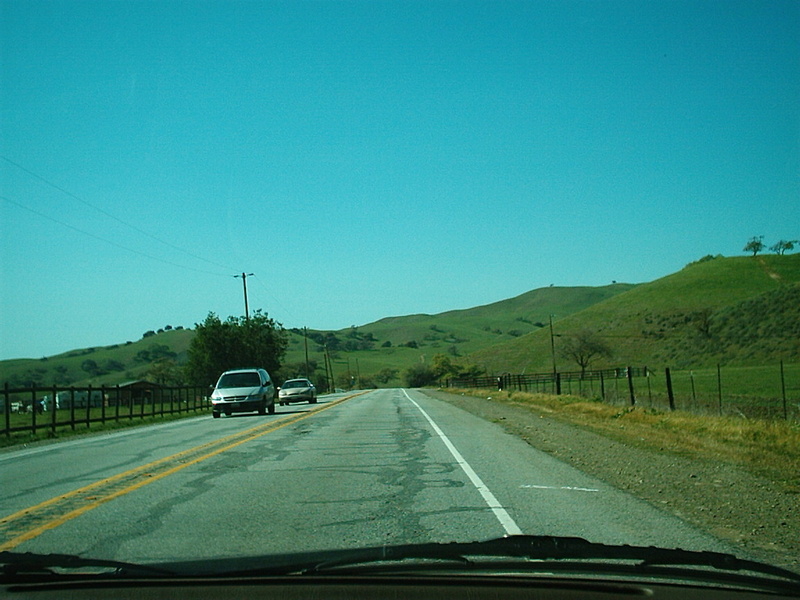
This is six miles west of Casa de Fruta. I've never seen the hills
this green through here.
![[152 West]](152_w_santaclara_15.jpg)
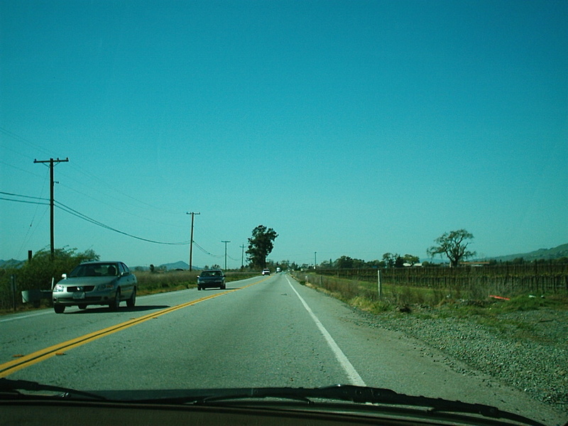
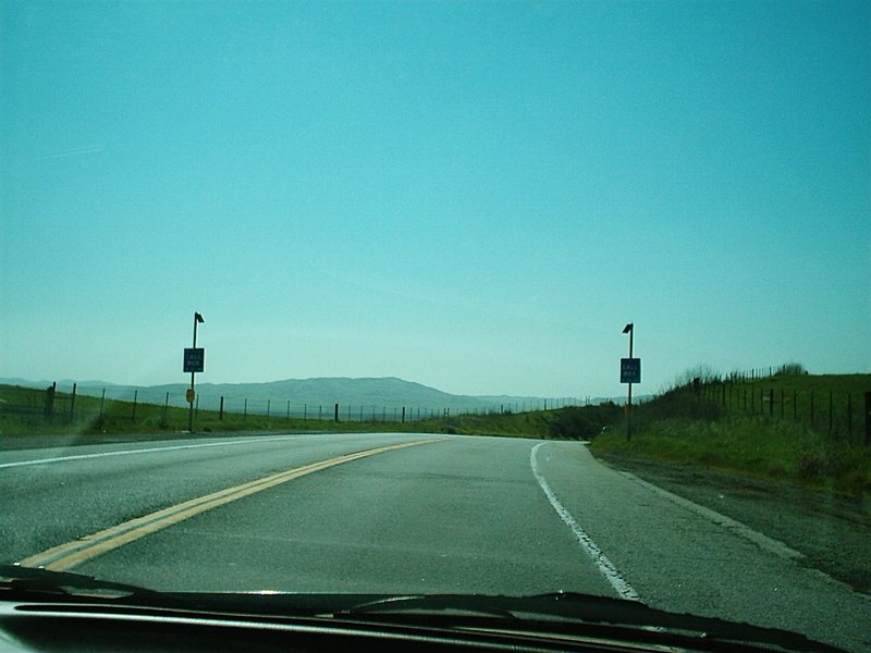
This is six miles west of Casa de Fruta.
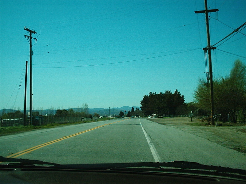
This is eight miles west of Casa de Fruta and right before G7
(Bloomfield Avenue.)
This is by Prunedale Avenue and nine miles west of Casa de Fruta.
After this photo, 152 reaches Ferguson Rd
(G9.)
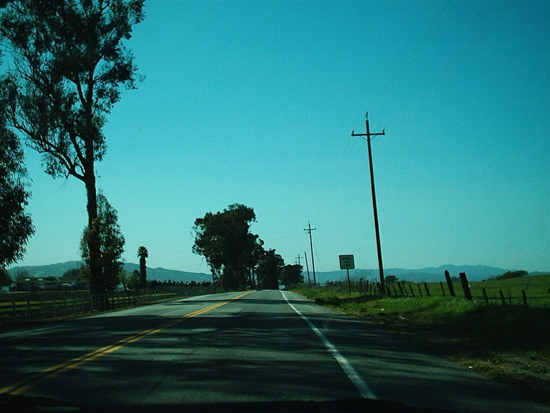
This is 12 miles west of Casa de Fruta and by Holsclaw.
This is 152 approaching Gilroy. The road was widened through here
recently. This is 13 miles west of Casa de Fruta.
Trucks should take 129 instead of 152 to Watsonville, and it is much
faster than 152 past Gilroy.
152 was rerouted in eastern Gilroy around 1973.
![[152 West]](152_w_santaclara_20.jpg)
--
The center divide in this area was built in 1998. It was just a
strip of asphalt before.
This is from July 2001.
![[152 West]](152_w_santaclara_5.jpg)
This is two miles West of Casa de Fruta. 152 climbs a short, steep
grade here.
![[152 West]](152_w_santaclara_8.jpg)
This is three miles west of Casa de Fruta.
![[152 West]](152_w_santaclara_9.jpg)
Three miles west of Casa de Fruta. This is looking towards the
southern Santa Cruz Mountains.
This is a few miles West of 156 in November 1995. This area sees dense fog during the fall and winter.
![[152 West]](152_w_santaclara_2.jpg)
Here you start getting a glimpse towards the south end of the Santa
Clara Valley.
Three miles west of Casa de Fruta.
![[152 West]](152_w_santaclara_11.jpg)
Overlooking Hollister and San Juan Bautista. The low spot in the mountains is near 129, west of US101. The summer time fog blows in over the low spot.
![[152 West]](152_w_santaclara_3.jpg)
This is four miles west of Casa De Fruta. 152 is really dropping
here.
San Felipe Road is right after this.
![[152 West]](152_w_santaclara_12.jpg)
This is four miles west of Casa de Fruta.
![[152 West]](152_w_santaclara_13.jpg)
152 Index
US101 North
US101 South
Hale Avenue / Santa Teresa Blvd North
Hale Avenue / Santa Teresa Blvd South 152 West
152 Index
Home