9  Southbound in California

This set is from a La Niña storm of late 1988.  Snow does fall on this road up high but not all that often. The high point (Saratoga Gap) is only 2634', so don't expect to see the quantity of snow you see on I80 near Colfax. This is an official scenic route. These pictures are taken fairly close to the summit.

9
        Southbound in December 1988

[9 South]

[9 South]

This is just north of the vista point and JCT 35 (Skyline Boulevard.)
The parking area is just behind the center of the picture.

[9 South]

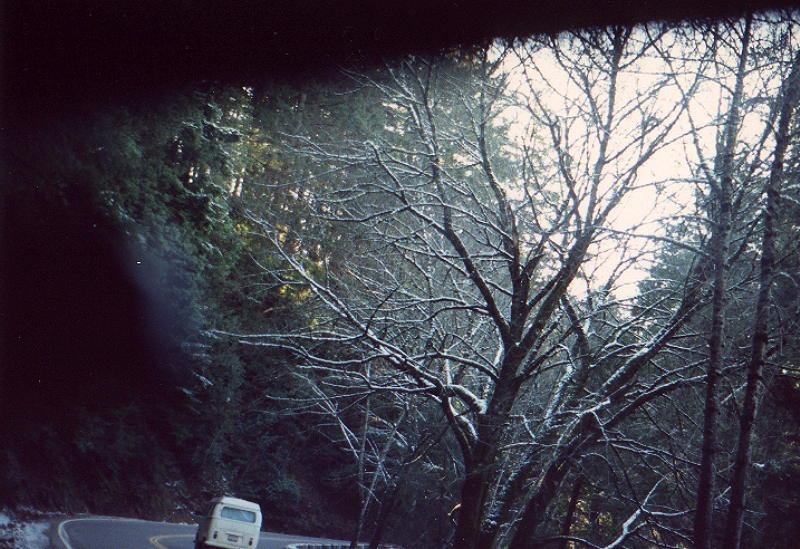
After 35,  Highway 9 goes on at about 30 - 35 MPH. It eventually reaches Santa Cruz. During El Niño years, this road really takes a beating from heavy rain.

The Vista Point at Skyline (Highway 35)  and Highway 9   |    Highway 9 South   |   Highway 9 North, Page One  |  Highway 9 North, Page Two  |   35 South of Highway 9, Page One   |   35 South of Highway 9, Page Two   |   35 South of Highway 9, Page Three   |   35 North (South of Highway 9)    |   35 South  in San Mateo County to Highway 9  | 35 at the Vista Point in November 1986 | 35 at the Vista Point in January 1988 |35 at the Vista Point in January 1986| Alpine Road Index Page | I280 Index
California Index Page
Home


©2003  | Contact info for Eric Buchanan